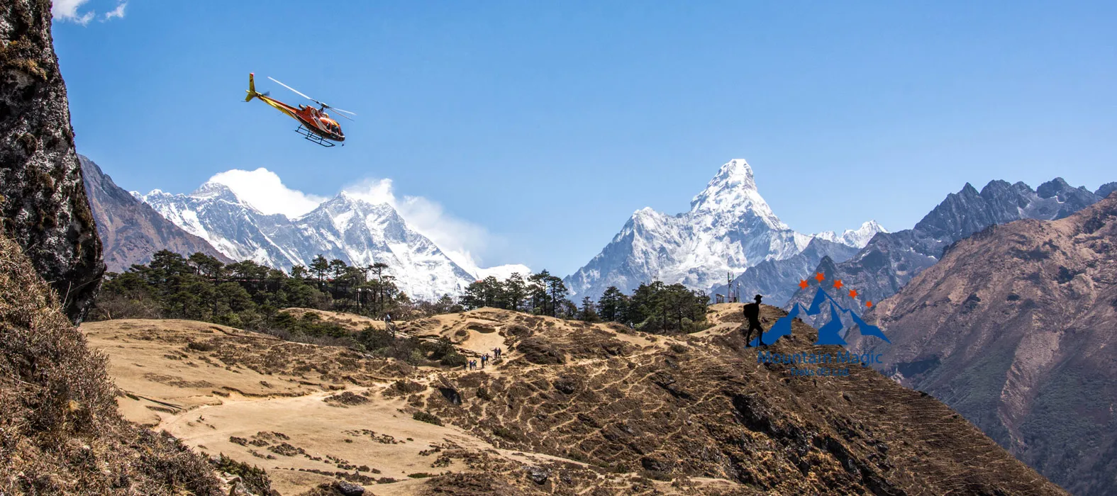
The Everest region is not made up of mountains alone. It also contains ancient glaciers, deep valleys, rocky slopes, and huge areas shaped by moving ice. These natural features give the Khumbu region its unique appearance and make the journey different from an ordinary mountain walk.
The Everest Base Camp Trek with Helicopter Return takes travelers through several landscapes that have been shaped by powerful natural forces over thousands of years. Understanding how these features formed can make the views along the route more interesting and help visitors appreciate the environment around them.
How Glaciers Shape the Everest Region
A glacier is a large body of ice that forms when snow builds up over many years and becomes compressed. Unlike ordinary snow, glacier ice can slowly move downhill under its own weight.
Ice That Moves Like a Slow River
Glaciers move much more slowly than flowing water, but their movement can change the land around them.
As ice travels, it can carry rocks, scrape the ground, and create new shapes in the landscape. These changes happen over long periods, which is why many Himalayan valleys have their distinctive forms.
The Khumbu Glacier is one of the most important glacial features in the Everest region. It extends through a high mountain valley below the surrounding peaks.
The Khumbu Glacier: A Major Natural Feature
The Khumbu Glacier lies below the western side of Mount Everest and is an important part of the landscape near Everest Base Camp.
Why the Glacier Looks So Rocky
A glacier does not always appear as a smooth white surface. Large amounts of rock and loose material can cover parts of its ice.
This rocky covering can make the glacier look dark and uneven. Cracks, ridges, and changing ice formations may also appear across its surface.
During the trek, visitors can see sections of this glacial environment from nearby areas. However, walking directly onto glacier terrain requires proper guidance and should never be treated like an ordinary trail.
Understanding Moraines Along the Route
One of the most interesting features of a glacial landscape is a moraine.
A moraine is a collection of rocks, sand, and other material carried or deposited by a glacier. These deposits can form ridges and uneven areas around the ice.
How Moraines Become Part of the Landscape
As a glacier moves, it transports material from the surrounding mountains. When the ice slows down or melts, some of that material remains behind.
Over time, these deposits can create large rocky formations.
Near the upper Everest region, glacial deposits contribute to the rough appearance of the landscape. They also help explain why some sections near Gorakshep and the Base Camp area look so different from the greener lower valleys.
The Everest Base Camp Trek with Helicopter Return gives travelers an opportunity to see how these geological features become more noticeable as the route approaches the high mountain environment.
Why the Landscape Changes With Elevation
The lower parts of the Everest region contain forests, rivers, and settlements. As the trail climbs higher, vegetation becomes less common and the surroundings become increasingly rocky.
Different Natural Conditions at Different Heights
Temperature, moisture, wind, and soil conditions all influence the types of plants that can grow in an area.
Lower valleys generally provide better conditions for trees and other vegetation. Higher sections have colder temperatures and shorter growing seasons.
This gradual change creates several distinct natural environments within one trekking route.
The Dudh Koshi River and Its Mountain Valley
The Dudh Koshi River is an important waterway in the Everest region. Its route passes through deep valleys and connects several settlements along the trekking corridor.
Water That Shapes the Land
Mountain rivers carry water, stones, and sediment downhill. Over long periods, flowing water can cut into rock and change the shape of valleys.
The river also receives water from snow and ice in the surrounding mountains.
As trekkers move along sections of the Dudh Koshi Valley, they can notice steep slopes, river crossings, and changing valley shapes. These features show how water continues to influence the Himalayan environment.
Why Rocky Ground Becomes More Common Near Gorakshep
Gorakshep is one of the final settlements used by trekkers before visiting Everest Base Camp and Kala Patthar.
The surrounding landscape is very different from the forested sections found at lower elevations.
A Landscape With Limited Vegetation
At this height, cold conditions and exposed ground make plant growth difficult.
Much of the surrounding area consists of rocks, gravel, and glacial deposits. The terrain can be uneven, so proper footwear and attention to the walking surface are important.
Visitors should also avoid moving loose stones or disturbing natural formations unnecessarily.
How Seasonal Changes Affect the Glacial Environment
The appearance of the Everest landscape can change throughout the year.
Snowfall, warmer temperatures, rainfall, and changing sunlight can influence how the surrounding ice and rocky ground look.
The Same Place Can Look Different
Fresh snow may cover parts of the landscape during colder periods. Warmer conditions can reveal more exposed rock and ice formations.
Clouds and sunlight also affect the appearance of glaciers and nearby peaks.
These changes are natural, and they are one reason the region never looks exactly the same in every photograph.
Seeing the Khumbu From the Air
After the walking portion, the helicopter journey offers another way to view the region.
From above, the arrangement of valleys, glaciers, mountain ridges, and rocky terrain becomes easier to understand. Features that looked separate from the trail can appear connected when viewed from the air.
A Different View of the Same Landscape
The flight provides a broad perspective of the natural environment that trekkers have crossed on foot.
The Everest Base Camp Trek with Helicopter Return combines these two ways of experiencing the region: walking through its valleys and viewing the surrounding landscape from the air.
Helicopter operations depend on weather, visibility, and flight conditions, so the actual flight schedule may change.
Final Thoughts
The Khumbu region is a remarkable example of how ice, water, weather, and time can shape a mountain landscape. Glaciers carry rock, rivers cut through valleys, and changing temperatures influence the appearance of the terrain.
The Everest Base Camp Trek with Helicopter Return offers more than impressive mountain views. It introduces visitors to a natural environment formed by powerful geological processes.
Taking time to understand the glaciers, moraines, and valleys makes the scenery more meaningful. Instead of seeing only rocks and ice, you begin to recognize the natural forces that created the landscape.
Frequently Asked Questions
1. What is the Khumbu Glacier?
The Khumbu Glacier is a major glacier below Mount Everest. It forms an important part of the landscape near Everest Base Camp.
2. What does the word moraine mean?
A moraine is a collection of rocks, sand, and other material transported or deposited by a glacier.
3. Why does the Everest region become rockier at higher elevations?
Colder temperatures, limited vegetation, exposed ground, and glacial deposits contribute to the rocky appearance of higher areas.
4. Can trekkers walk directly on the Khumbu Glacier?
The glacier is not an ordinary walking trail. Access to glacial terrain requires appropriate guidance, equipment, and safety arrangements.
5. Can the helicopter flight provide views of the glaciers?
Yes. When visibility and flight conditions allow, passengers may see glaciers, valleys, and mountain ridges from above.
